
QGIS PLUGIN · ALPHA VERSION (0.1.0)
Your soil studies
in QGIS
Deltasol is a QGIS plugin for carrying out soil studies and assessing the impact of construction projects on soils.
Search for “Deltasol” with experimental plugins enabled in the QGIS Plugin Manager (Settings tab)
Try the alpha version and share your experience to help shape Deltasol


UNDERSTAND SOILS, INFORM CONSTRUCTION PROJECTS
Introducing Deltasol
Deltasol is an open-source QGIS extension that helps assess the impact of construction projects on soils. It brings the description of initial conditions, planning scenarios and study results together in a single workflow.

Built on Switzerland’s national soil information system
NABODAT, Switzerland’s national soil information system, brings together and harmonises soil data from different studies. Deltasol uses the “Surface data” package of version 1.8 of its data model to structure your information within a common framework suited to the Swiss context.
Using IQS to track changes in soils
The IQS (Indice de qualité des sols, Soil Quality Index) translates soil characteristics into scores describing their functions, from biomass production to runoff regulation and habitat for organisms. In Deltasol, comparing these scores between initial conditions and planning scenarios helps you assess expected changes in soil quality.
For land-use professionals
Soil specialists, consultants, planning professionals and local authorities: Deltasol helps you document soils and explore the effects of your planning decisions. The aim is to provide an easy-to-use tool directly within QGIS, free and open-source software that offers a shared working environment.
AN ALPHA VERSION OPEN TO YOUR FEEDBACK
Try Deltasol and help shape its future
Explore in QGIS
Open access to the alpha version
To get started, install the plugin directly in QGIS.
Installation instructions
Open the
Pluginsmenu →Manage and Install Plugins…In
Settings, enableShow also Experimental PluginsIn
All, search for “Deltasol”, then clickInstall Experimental Plugin.
You can explore Deltasol and test it independently on your own projects.
FOR YOUR FIRST STEPS
A template to get started
Start with a blank template to discover Deltasol.
Blank project template
ZIPAn empty project with the Deltasol data structure, ready to fill in for your own study.
Download the project templateOnce Deltasol is installed, extract the archive and open deltasol.qgz in QGIS. Keep the GeoPackage file in the same folder.

Your feedback and experience matter!
Help shape Deltasol
Share your experience with Deltasol: what you find useful, any bugs you encounter, your needs and ideas for new features. Your feedback helps us develop the plugin around the way you work.
Would you like to take part in testing?
Contribute by sharing my feedbackTHE DELTASOL WORKFLOW
Your soil study, step by step
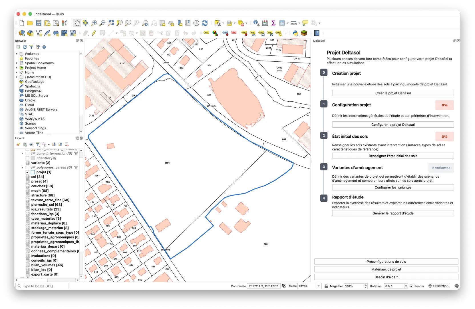
From defining the project boundary to exporting the results, Deltasol guides your soil impact study in QGIS.


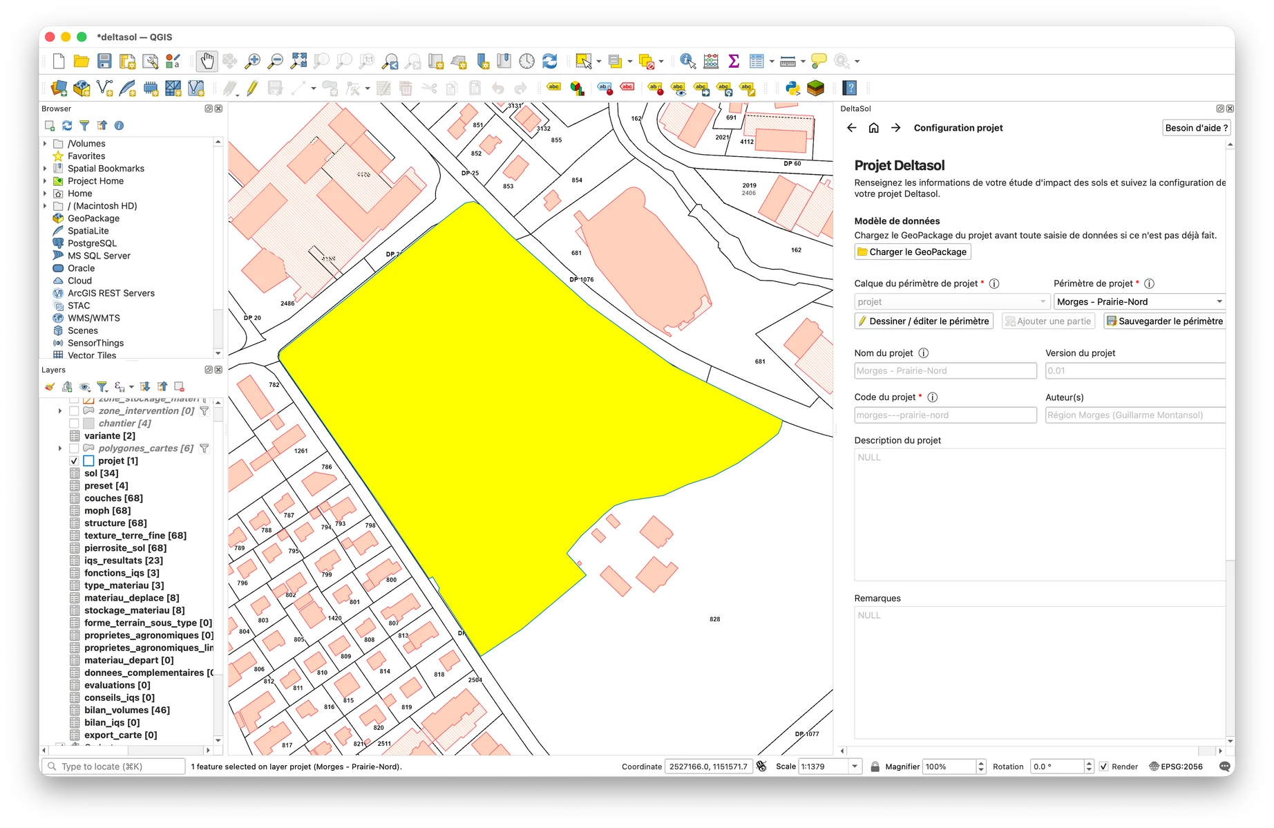
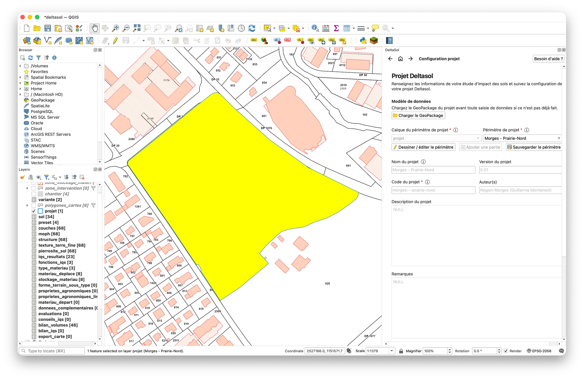
Create the project
Define the study boundary and start from a QGIS project template with ready-to-use layers and data structures. Project data is stored in a local GeoPackage: a portable file that you can adapt to your needs, share with your team or reuse as a starting point for future projects.
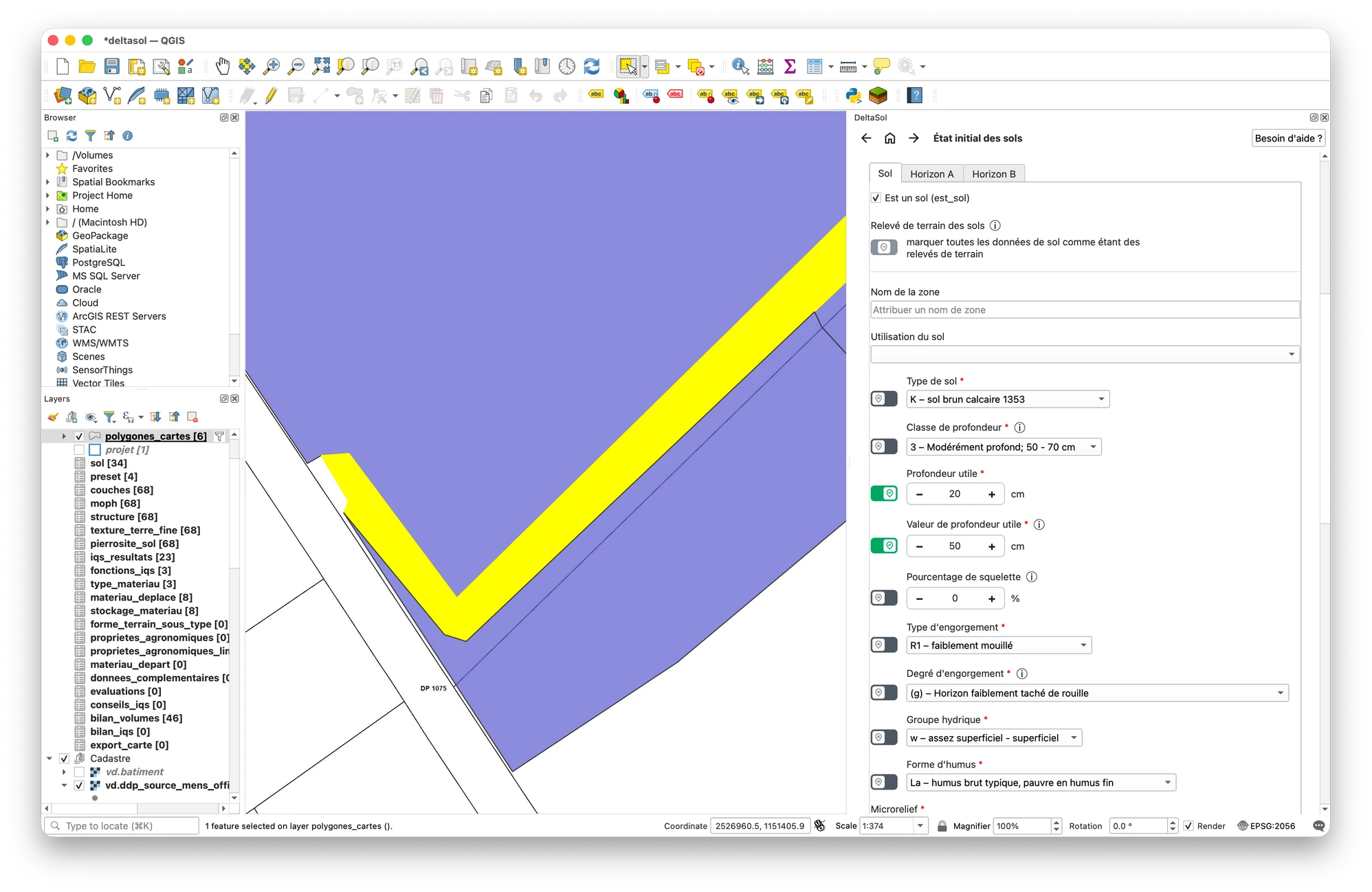
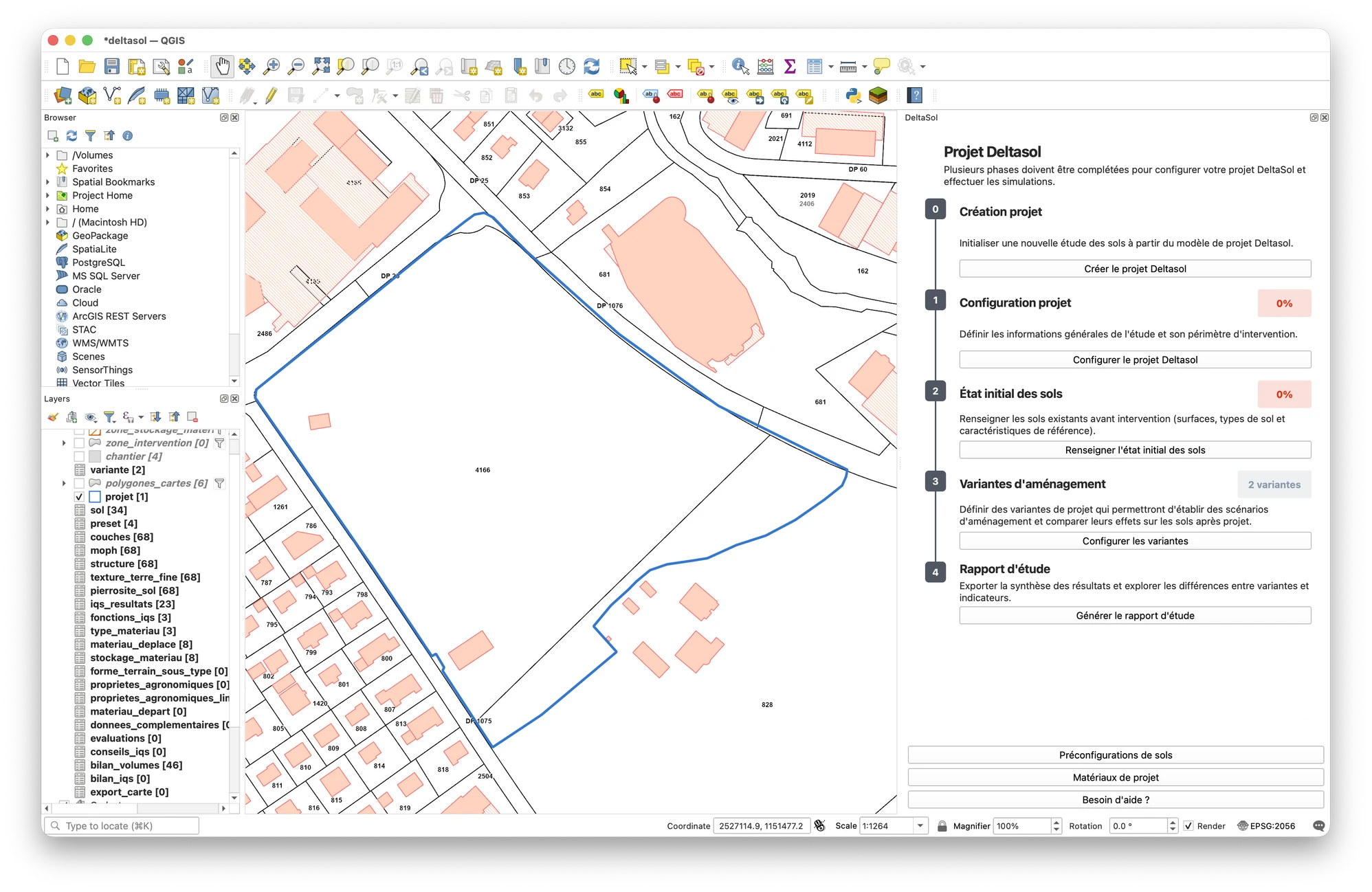
Describe the soils
Describe areas, soil types and their horizons using the NABODAT model structure. Enter the properties needed to calculate the IQS: effective soil depth, usable porosity, surface permeability, pH and the organic matter-to-clay ratio. Reuse your soil presets to speed up data entry.
Explore planning scenarios
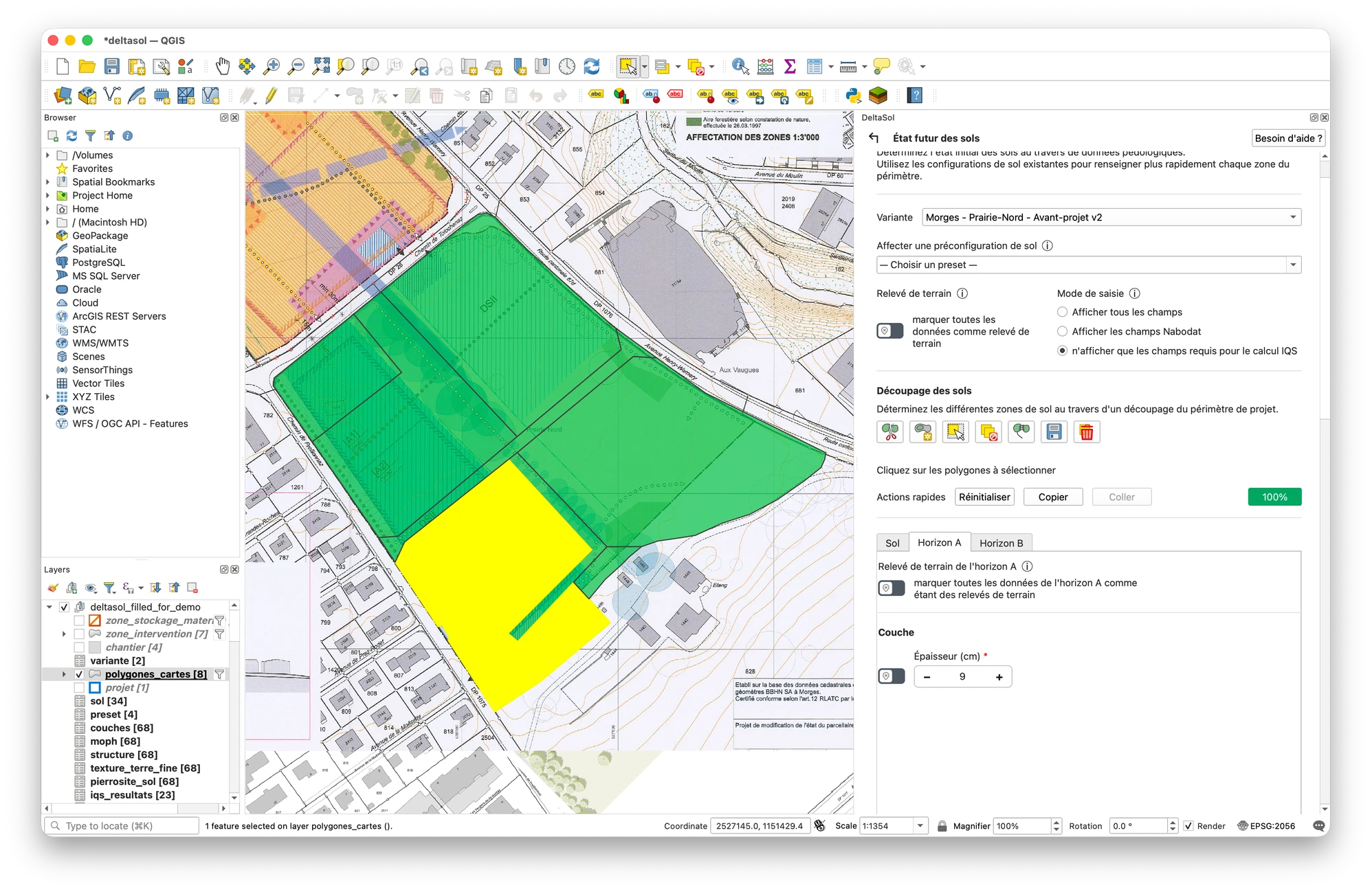
Create several scenarios and describe the future soil conditions for each by dividing the study area into zones and reusing your soil presets. Then define the construction zones: soils to protect, areas affected by the works or requiring soil stripping, and access routes. Plan the use of project materials, draw storage areas and allocate volumes for reuse or removal from the site. Each scenario retains its own assumptions so you can compare its effects on the soils.
Prepare the study report
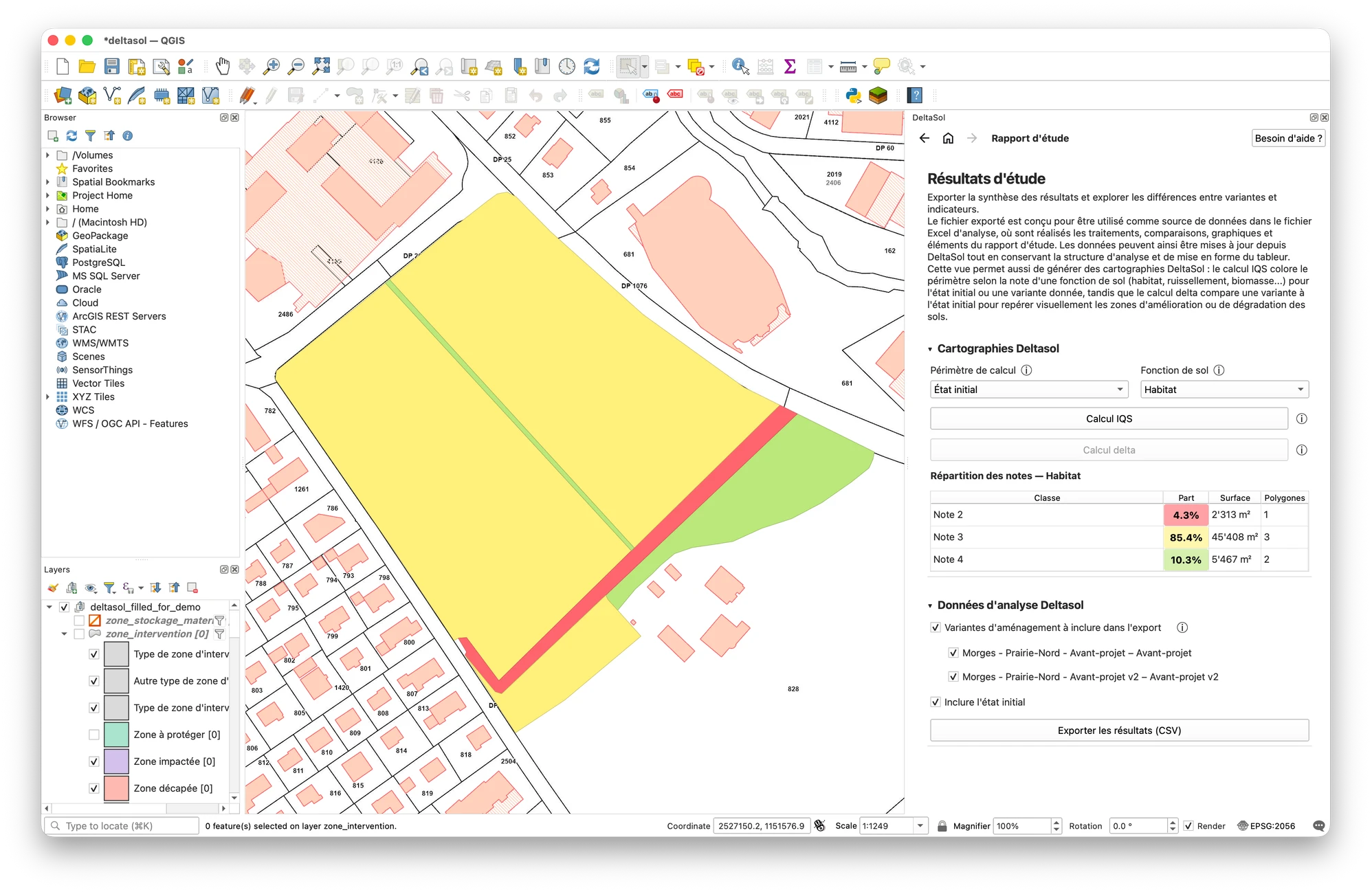
Generate maps in QGIS showing soil functions and how they change between initial conditions and planning scenarios. Export the results to the Excel analysis workbook to compare scenarios and indicators, create charts and prepare the study report.
Soil and material presets
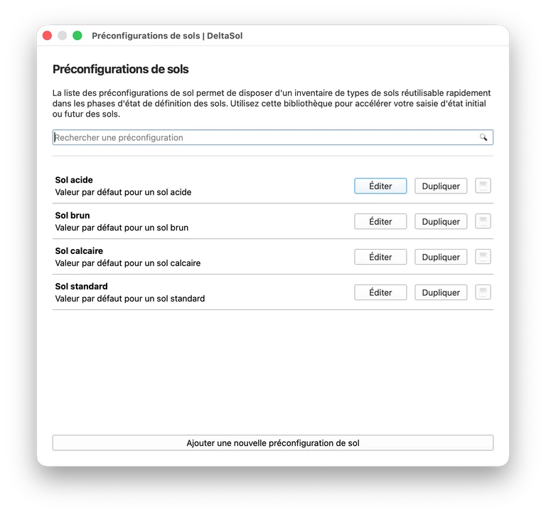
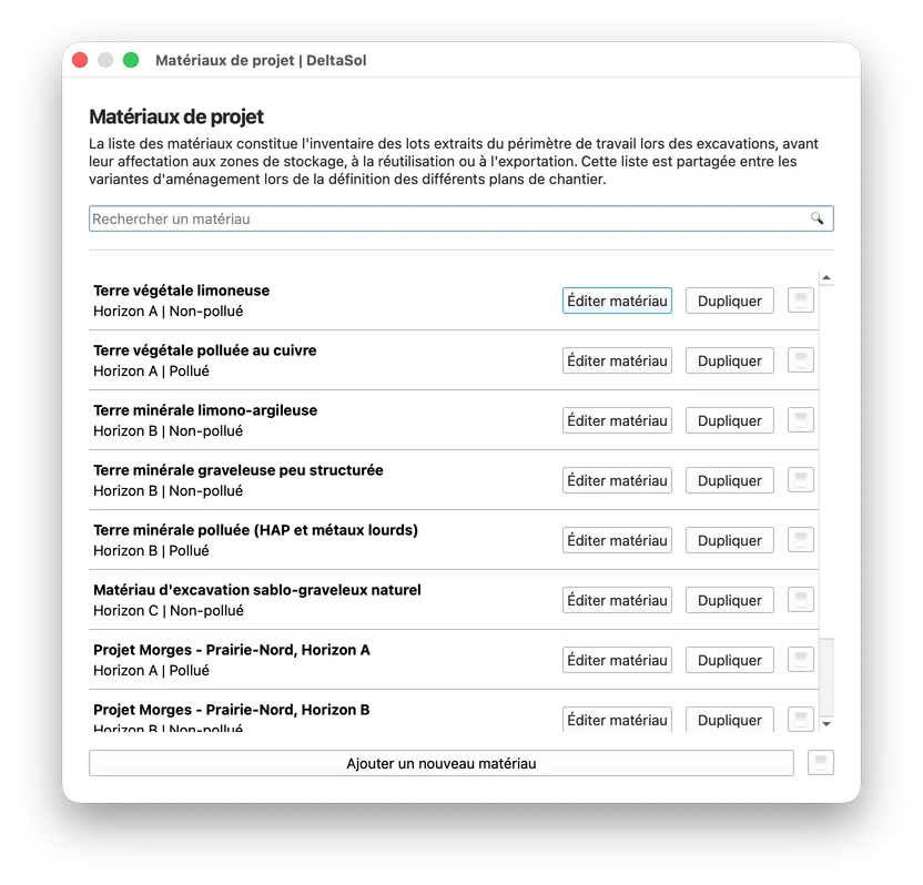
Create soil types by describing their A and B horizons in reusable presets for initial and future conditions. Define each material just once, then select it and specify its quantities in the construction zones of each scenario. These libraries simplify data entry, reduce repetition and keep descriptions consistent throughout the study.
NABODAT model
A data model integrated into the GeoPackage, fully compatible with the “Surface data” package of the NABODAT 1.8 model.
Soil functions and IQS
Assess habitat for organisms, runoff regulation and biomass production using the IQS (Soil Quality Index), then compare initial conditions with planning scenarios.
Data reliability
Distinguish estimates and assumptions from field observations. Start with an exploratory study, then refine it with measured data to better assess the reliability of your results.
Open-source plugin
Open source code that lets you understand how the plugin works and contribute to its future development.
Frequently asked questions
Answers to common questions

Project partners


A question, a request or feedback to share? Get in touch
deltasol-plugin [at] proton [dot] me